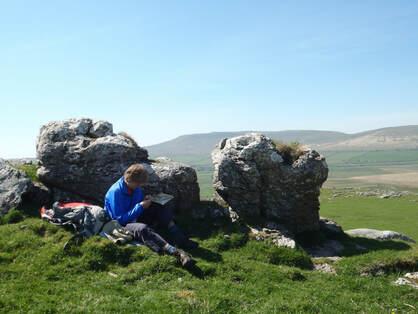
Many of us learnt basic map-reading at school or as part of Brownie or Scout camps but it's a disappearing skill. Even those of us who know how to map-read can become over-reliant on an irritating voice relaying sat nav or Google map instructions on our phone.
An alarmingly high number of walkers set off on long walks, simply hoping they'll be able to follow footpath signs or use a map on their phone to find their way around the Yorkshire Dales.
The reality is that phone signals can disappear at the exact moment you need them most, weather conditions can change very quickly and those who can't 'read' the landscape can become lost very quickly. This may mean an embarrassed call to one of the volunteer mountain rescue services.
Luckily there's a very simple answer to avoid all this, and make walks much more enjoyable: do a short, practical navigation course in the Yorkshire Dales with an experienced walking guide. There are several, in different parts of the Dales. They share a similar aim - to offer novice and experienced walkers a fun day that equips everyone with a valuable skill and confidence to make spending time outdoors even more enjoyable.
Depending on the one day course you choose, you'll learn to really understand every detail on an Ordnance Survey map, to drill down into the detail of the weather forecast and what it means for your planned trip.
You'll get to grips with using a compass and other methods of navigation, and be able to visualise the kind of terrain you'll cover so you're better prepared for your next outing. You'll also gain a better understanding of your rights and responsibilities in the countryside.
You can join several practical navigation courses in the Yorkshire Dales. For more details see Where2Walk, Yorkshire Dales Guides and TeamWalking. The volunteer rescue services will thank you for it!

 RSS Feed
