After some discussion it was decided that it would start in Ilkley and much of the route should follow the River Wharfe, right up to its source on Cam Fell.
That walk would have ended in the middle of the Yorkshire Dales National Park, leaving walkers either stranded or turning back on themselves, so instead the route was extended to follow the River Dee through Dentdale, and then on through Westmorland to end at Lake Windermere.
After many meetings with many organisations and much discussion about recording footpaths, creating signage and rights of way by some very committed volunteers, the Dales Way was born.
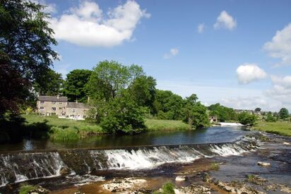
 Linton Falls
 It's an 80 mile long route which is well signposted and relatively easy. The Dales Way Association suggest it's an ideal introduction for less experienced walkers to long distance walking.
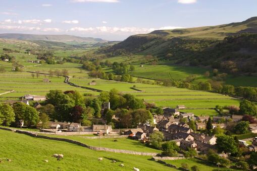
The route passes through some truly gorgeous parts of the Yorkshire Dales: Bolton Abbey, Burnsall, Linton, Grassington, Kettlewell, Buckden, Hubberholme, Cowgill, Dent and Sedbergh before moving on to the Lake District National Park.
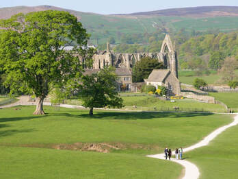
 Image: Bolton Abbey
 Rivers are calming and forever changing, different in every season.
The Dales Way is rich in geological features and birdlife - expect to spot kingfishers, dippers, oystercatchers, and curlews.
 Image: Skyware Press
 It's become a very popular guide to the beautiful riverside route, and is now in its 11th edition, published by Skyware Press.
I wonder how many feet have trodden this beautiful route over the last 50 years, probably not even aware of all the work that went into its creation?
If you love the Dales Way you might be interested in joining the Dales Way Association.

 RSS Feed
